


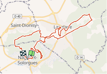


13.8 km | 17.2 km-effort

User


FREE GPS app for hiking
 SityTrail
IGN / Geographical institutes
SityTrail World
The world is yours!
Trail Walking of 14.8 km to be discovered at Occitania, Gard, Nages-et-Solorgues. This trail is proposed by v.rabot.
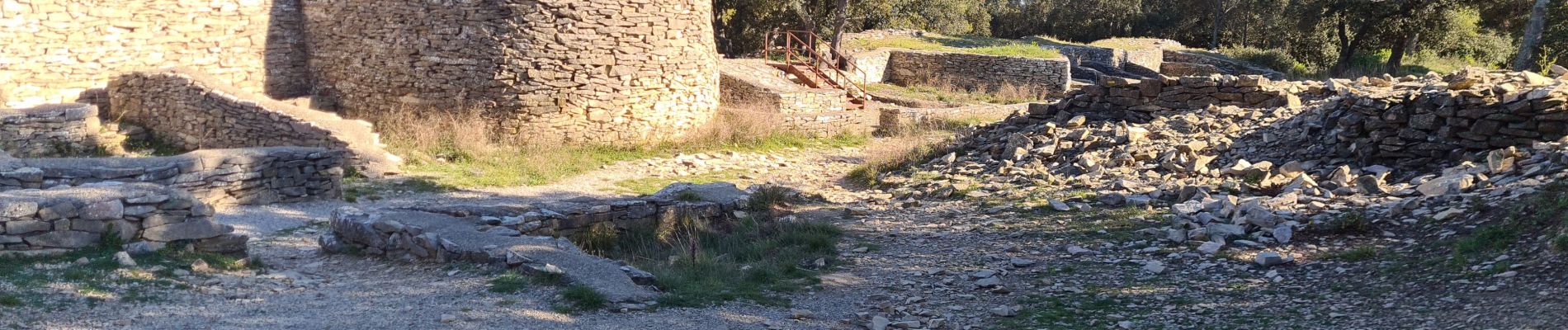
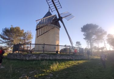
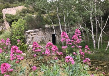
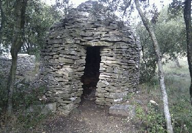
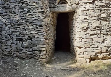
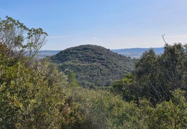
Sur la première partie, il y a un nombre incalculable de capitelles de toutes les formes et de toutes tailles. le parcours était très fleuri et se déroule en grande partie à l'ombre permettant d'envisager une sortie en juillet ou août, en partant de très bonne heure. Le parcours ne peut pas se faire rapidement, regarder chaque abri prend du temps. Et pour le reste du parcours, il ya pas mal de cailloux qui nécessitent une certaine attention. Des tables de pique-niques sont disponibles prés du terrain de sport au combe de la cabre. le moulin de Langlade est très beau. On passe sur les oppidums de Riou et Nages qui a de beaux vestiges. Le bâton est utile compte tenu des nombreux cailloux.


39 photos in total. Please click on a photo to see them all in the gallery.

Walking
Walking
Walking

Mountain bike
Walking

Walking
Walking
Walking
Walking