


136 km | 279 km-effort


User


FREE GPS app for hiking
 SityTrail
IGN / Geographical institutes
SityTrail World
The world is yours!
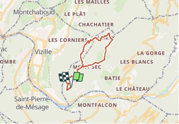
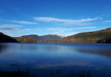
Trail Walking of 13.3 km to be discovered at Auvergne-Rhône-Alpes, Isère, Séchilienne. This trail is proposed by Patrick Costes .
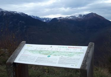
Départ Les Rivoirands. Boucle partielle au départ de Montsec.

Running
Walking
Walking
Walking

Walking
Walking
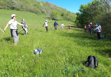
Nordic walking
Walking
Nordic walking