


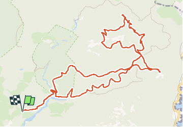

10.4 km | 17.5 km-effort

User


FREE GPS app for hiking
 SityTrail
IGN / Geographical institutes
SityTrail World
The world is yours!
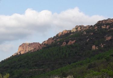
Trail Walking of 17.5 km to be discovered at Provence-Alpes-Côte d'Azur, Var, Saint-Raphaël. This trail is proposed by donda.
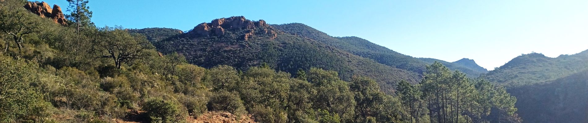
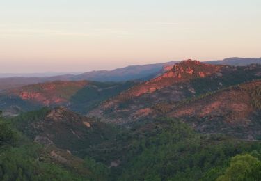
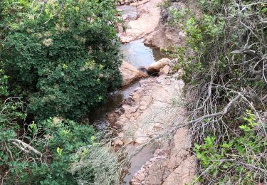
Parking Belle Barbe - Baisse Orientale - Baisse des Sangliers - Col des Lentisques (pause) - Dent de l'Ours - Pic de l'Ours (P.nique) - Descente vers Col des Lentisques (Batons conseillés descente à certain endroit difficile) - Pic d'Aurelle - Baisse des Sangliers - Ravin des Lentisques - Retour parking


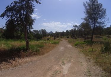
Walking
Walking

Walking

Walking
Walking

Walking
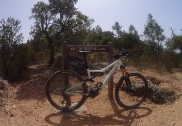
Mountain bike
Mountain bike
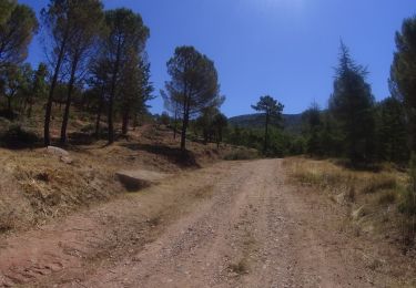
Mountain bike