


Trassanel Yves

Ada11
User GUIDE

Length
18.3 km

Max alt
856 m

Uphill gradient
650 m
Km-Effort
27 km

Min alt
440 m

Downhill gradient
650 m
Boucle
Yes
Creation date :
2024-03-24 08:02:05.456
Updated on :
2024-03-24 15:09:35.287
6h20
Difficulty : Medium

FREE GPS app for hiking
 SityTrail
IGN / Geographical institutes
SityTrail Plus
The world is yours!
About
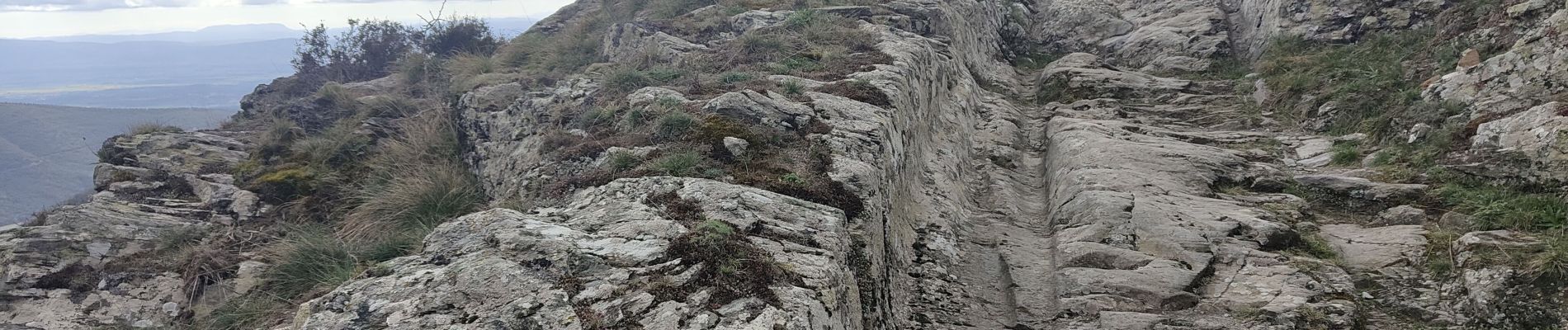
Trail Walking of 18.3 km to be discovered at Occitania, Aude, Trassanel. This trail is proposed by Ada11.
Photos

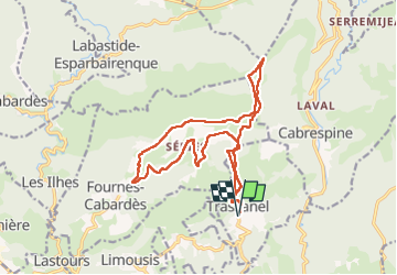
Positioning
Country:
France
Region :
Occitania
Department/Province :
Aude
Municipality :
Trassanel
Location:
Unknown
Start:(Dec)
Start:(UTM)
454261 ; 4799201 (31T) N.
Comments