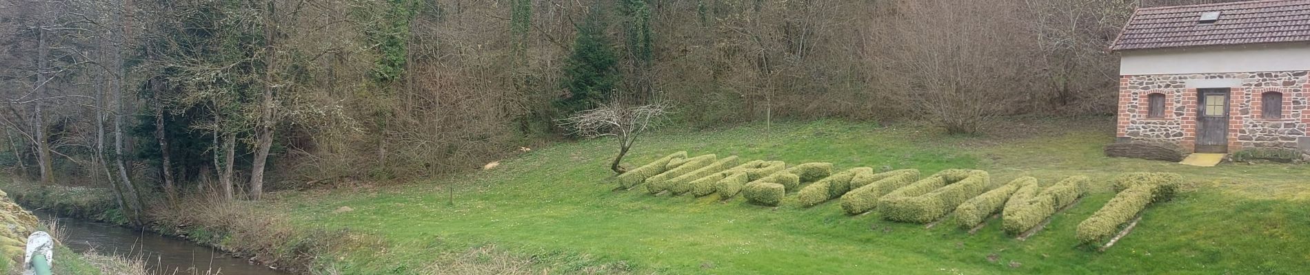
Trail Walking Miremont - Miremont  - Photo
 audier
audier

User

© OpenStreetMap contributors
Length
Length
26 km
Max alt
Max alt
641 m
Uphill gradient
Uphill gradient
526 m
Km-Effort
Km-Effort  
33 km
Min alt
Min alt
506 m
Downhill gradient
Downhill gradient
527 m
Boucle
Boucle
Yes
Creation date :
2024-03-25 06:56:27.934
Updated on :
2024-03-25 12:57:30.628

(0 Reviews)

Walking
Walking
4h54
Difficulty : Very difficult

Scan this QR Code to open this trail in the SityTrail application

FREE GPS app for hiking

Logo SityTrail SityTrail

IGN / Geographical institutes

Download SityTrail from the App Store Download SityTrail from Google Play

Logo SityTrail SityTrail Plus

The world is yours!

Download SityTrail from the App Store Download SityTrail from Google Play Download SityTrail on Huawei AppGallery

About

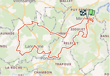
Trail Walking of 26 km to be discovered at Auvergne-Rhône-Alpes, Puy-de-Dôme, Miremont. This trail is proposed by audier.

Description

De Miremont à Landogne par le GR4, puis Pontaumur et les Gorges du Sioulet.
Passage sur la D206 et D987 prudence.
Fortes montées au départ et pour monter à l'église en fin de parcours. Bonne randonnée.

Elevation profile

Photos

Positioning

Country:
France
Region :
Auvergne-Rhône-Alpes
Department/Province :
Puy-de-Dôme
Municipality :
Miremont
Location:
Unknown
Start:(UTM)
478042 ; 5082808 (31T) N.


Close
My subscriptions