


Pic de Balmiou

chrisgps
User
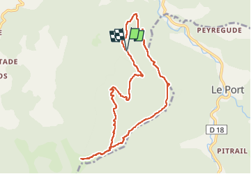

Length
10.2 km

Max alt
1600 m

Uphill gradient
784 m
Km-Effort
21 km

Min alt
796 m

Downhill gradient
791 m
Boucle
Yes
Creation date :
2024-03-13 08:39:36.756
Updated on :
2024-03-28 09:41:47.394
4h42
Difficulty : Medium

FREE GPS app for hiking
 SityTrail
IGN / Geographical institutes
SityTrail Plus
The world is yours!
About
Trail Walking of 10.2 km to be discovered at Occitania, Ariège, Massat. This trail is proposed by chrisgps.
Description
.............il faut avoir un excellent sens de l'orientation !!!!!! (merci à Bernard).
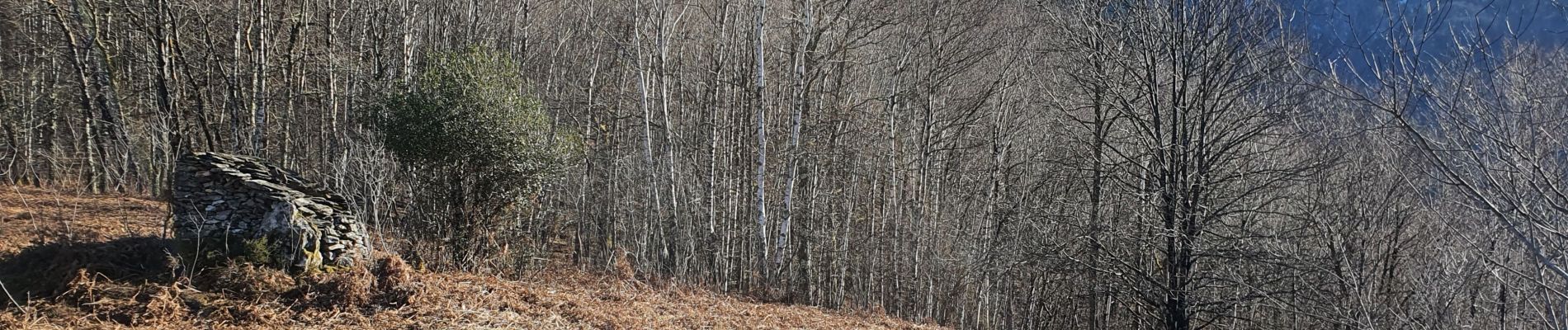
Photos


Positioning
Country:
France
Region :
Occitania
Department/Province :
Ariège
Municipality :
Massat
Location:
Unknown
Start:(Dec)
Start:(UTM)
365177 ; 4748068 (31T) N.
Comments