


44 km | 50 km-effort

User


FREE GPS app for hiking
 SityTrail
IGN / Geographical institutes
SityTrail World
The world is yours!
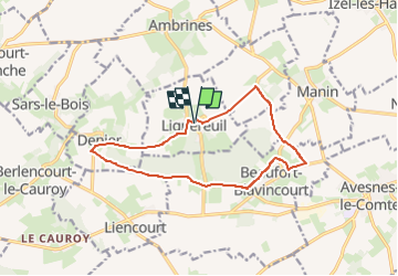
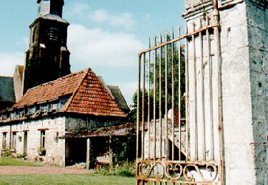
Trail Walking of 12.1 km to be discovered at Hauts-de-France, Pas-de-Calais, Lignereuil. This trail is proposed by temmichel.
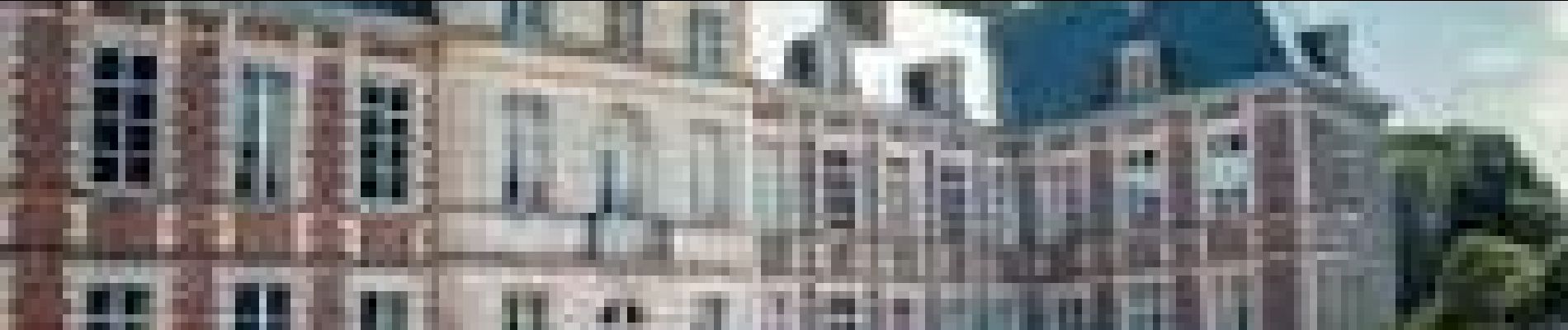
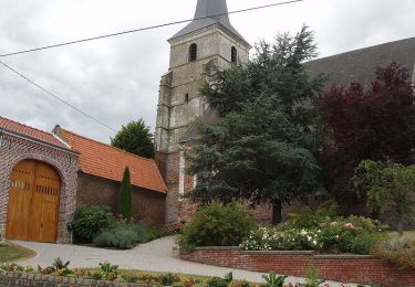
Randonnée au départ du village de Lignereuil dont vous pourrez admirer le château et après suivi le GR de l'Artois jusqu'au village de Beaufort-Blavincourt. De là vous longerez les bois de Robermont et du Fay sur un GRP de pays jusqu'à rejoindre les abords du village de Denier pour retrouver le GR 121 et rallier votre point de départ
Bonne randonnée
Jean-Michel
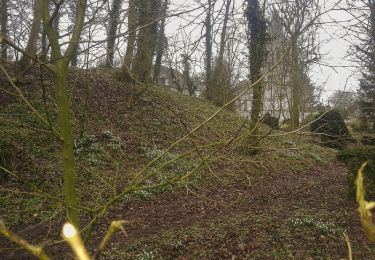
 - Par le bois du Fay - Photo 1")

Mountain bike
Walking

Walking
Walking
Walking

Walking
Mountain bike
Walking
Walking