


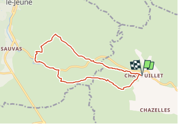

12.9 km | 15.1 km-effort

User


FREE GPS app for hiking
 SityTrail
IGN / Geographical institutes
SityTrail World
The world is yours!
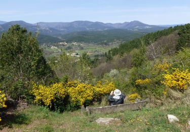
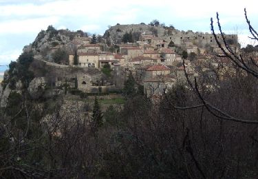
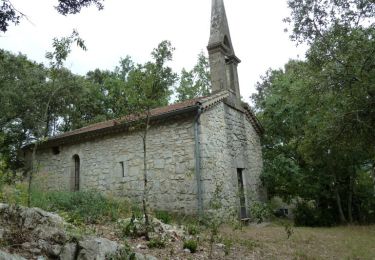
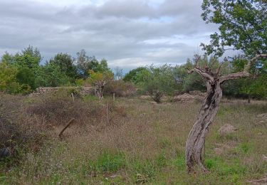
Trail Walking of 7.8 km to be discovered at Auvergne-Rhône-Alpes, Ardèche, Saint-André-de-Cruzières. This trail is proposed by asclier0.
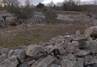
Boucle garrigue et dolmen.
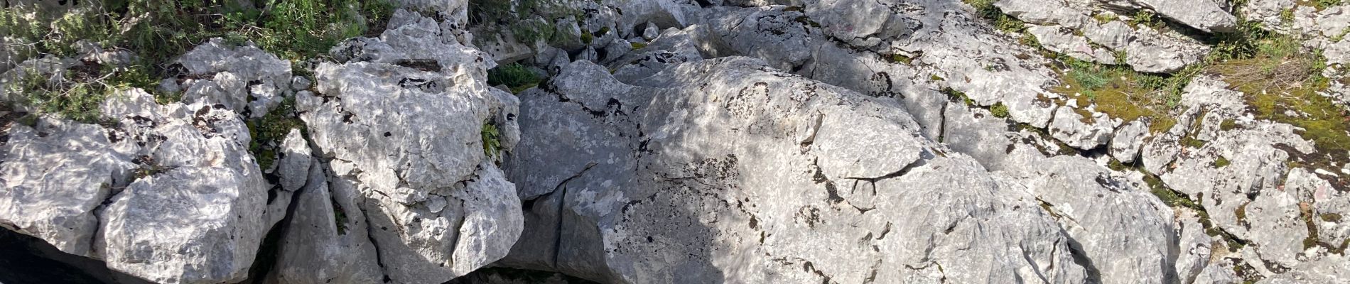
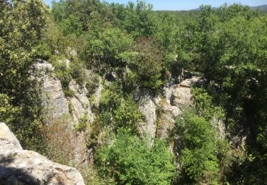
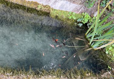
Détour pour voir la résurgence, vaut le coup après de fortes pluies.


Walking

Walking

Walking
Walking
Walking
Mountain bike
Walking
Walking
Walking