


2024-04-02_10h27m46_asnelles-reperage-12km

cathie76
User
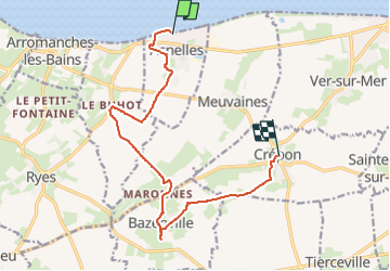

Length
12 km

Max alt
67 m

Uphill gradient
95 m
Km-Effort
13.1 km

Min alt
0 m

Downhill gradient
47 m
Boucle
No
Creation date :
2024-04-02 08:27:46.555
Updated on :
2024-04-02 08:27:47.761

FREE GPS app for hiking
 SityTrail
IGN / Geographical institutes
SityTrail Plus
The world is yours!
About
Trail of 12 km to be discovered at Normandy, Calvados, Asnelles. This trail is proposed by cathie76.
Positioning
Country:
France
Region :
Normandy
Department/Province :
Calvados
Municipality :
Asnelles
Location:
Unknown
Start:(Dec)
Start:(UTM)
675495 ; 5468252 (30U) N.
Comments