


Fontainebleau
© OpenStreetMap contributors


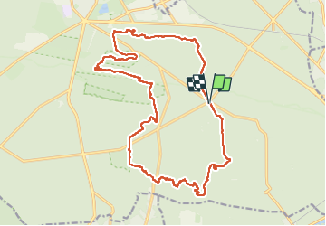
Length
21 km
Max alt
138 m
Uphill gradient
409 m
Km-Effort
27 km
Min alt
83 m
Downhill gradient
411 m
Boucle
Yes
Creation date :
2024-04-02 07:03:38.0
Updated on :
2024-04-02 13:27:10.917
FREE GPS app for hiking
 SityTrail
IGN / Geographical institutes
SityTrail Plus
The world is yours!
About
Trail of 21 km to be discovered at Ile-de-France, Seine-et-Marne, Fontainebleau. This trail is proposed by 001253.a58f63f7b061424d9259be3b6d894e9c.2232.
Positioning
Country:
France
Region :
Ile-de-France
Department/Province :
Seine-et-Marne
Municipality :
Fontainebleau
Location:
Unknown
Start:(Dec)
Start:(UTM)
480721 ; 5358148 (31U) N.
Comments