


le roc du Causse

Mascart
User
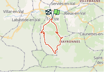

Length
11.5 km

Max alt
587 m

Uphill gradient
382 m
Km-Effort
16.5 km

Min alt
229 m

Downhill gradient
382 m
Boucle
Yes
Creation date :
2024-04-02 11:40:05.775
Updated on :
2024-04-02 17:40:53.065
3h52
Difficulty : Medium

FREE GPS app for hiking
 SityTrail
IGN / Geographical institutes
SityTrail Plus
The world is yours!
About
Trail Walking of 11.5 km to be discovered at Occitania, Aude, Taurize. This trail is proposed by Mascart.
Description
boucle de Taurize
Positioning
Country:
France
Region :
Occitania
Department/Province :
Aude
Municipality :
Taurize
Location:
Unknown
Start:(Dec)
Start:(UTM)
459703 ; 4769445 (31T) N.
Comments