


Sources de l'Huveaune

Migueldefrance
User
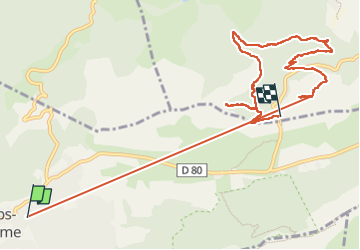

Length
11.9 km

Max alt
708 m

Uphill gradient
446 m
Km-Effort
17.8 km

Min alt
428 m

Downhill gradient
446 m
Boucle
No
Creation date :
2024-04-03 11:13:06.109
Updated on :
2024-04-03 14:23:20.006
3h09
Difficulty : Medium

FREE GPS app for hiking
 SityTrail
IGN / Geographical institutes
SityTrail Plus
The world is yours!
About
Trail Walking of 11.9 km to be discovered at Provence-Alpes-Côte d'Azur, Var, Plan-d'Aups-Sainte-Baume. This trail is proposed by Migueldefrance.
Description
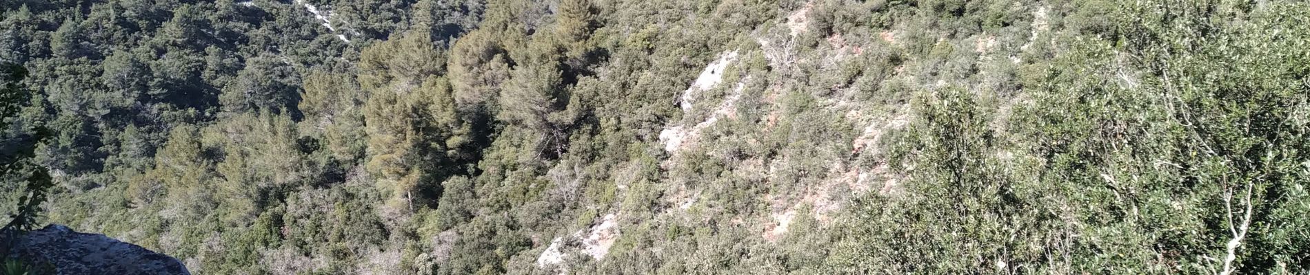
Belle rando. Quelques passages raides. Prévoir une lampe pour la grotte.
Photos


Positioning
Country:
France
Region :
Provence-Alpes-Côte d'Azur
Department/Province :
Var
Municipality :
Plan-d'Aups-Sainte-Baume
Location:
Unknown
Start:(Dec)
Start:(UTM)
720833 ; 4801075 (31T) N.
Comments