


callas

moving
User
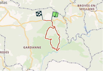

Length
10.3 km

Max alt
309 m

Uphill gradient
249 m
Km-Effort
13.6 km

Min alt
128 m

Downhill gradient
239 m
Boucle
No
Creation date :
2024-04-04 06:19:53.497
Updated on :
2024-04-04 09:57:56.013
3h37
Difficulty : Difficult

FREE GPS app for hiking
 SityTrail
IGN / Geographical institutes
SityTrail Plus
The world is yours!
About
Trail Walking of 10.3 km to be discovered at Provence-Alpes-Côte d'Azur, Var, Callas. This trail is proposed by moving.
Description
callas
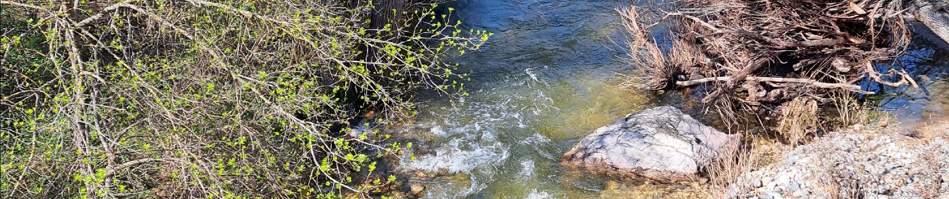
Photos


Positioning
Country:
France
Region :
Provence-Alpes-Côte d'Azur
Department/Province :
Var
Municipality :
Callas
Location:
Unknown
Start:(Dec)
Start:(UTM)
306058 ; 4827624 (32T) N.
Comments