


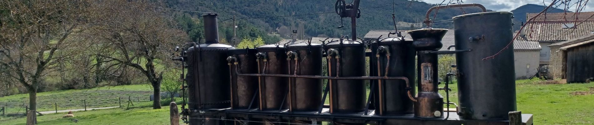
chamaloc

jphugon
User
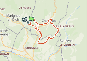

Length
14.8 km

Max alt
772 m

Uphill gradient
538 m
Km-Effort
22 km

Min alt
506 m

Downhill gradient
537 m
Boucle
Yes
Creation date :
2024-04-04 07:51:57.198
Updated on :
2024-04-04 14:43:37.056
6h50
Difficulty : Very difficult

FREE GPS app for hiking
 SityTrail
IGN / Geographical institutes
SityTrail Plus
The world is yours!
About
Trail Walking of 14.8 km to be discovered at Auvergne-Rhône-Alpes, Drôme, Marignac-en-Diois. This trail is proposed by jphugon.
Photos


Positioning
Country:
France
Region :
Auvergne-Rhône-Alpes
Department/Province :
Drôme
Municipality :
Marignac-en-Diois
Location:
Unknown
Start:(Dec)
Start:(UTM)
686240 ; 4962838 (31T) N.
Comments