


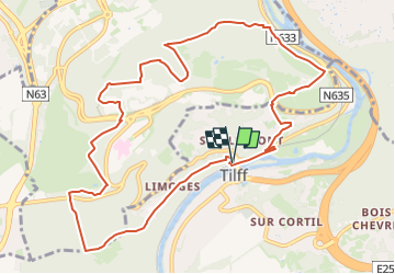


11.6 km | 16.5 km-effort

Randonnez sur et autour des GR ® wallons (Sentiers de Grande Randonnée). PRO


FREE GPS app for hiking
 SityTrail
IGN / Geographical institutes
SityTrail World
The world is yours!
Trail Walking of 11 km to be discovered at Wallonia, Liège, Esneux. This trail is proposed by GR Rando.
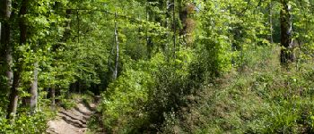
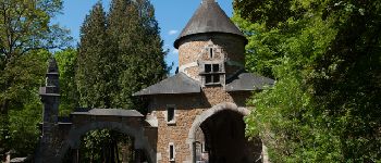
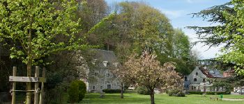
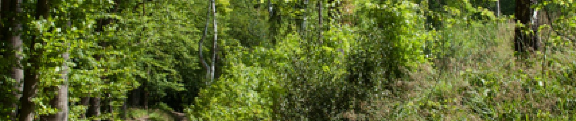
Le dénivelé de cette boucle sera estompé par le spectacle offert par les nombreux panoramas et autres lieux variés aux ambiances étonnantes, notamment le parc dédié aux artistes, le vieux cimetière du thier de la Chapelle, l’ancienne basilique de Vauxsous- Chèvremont, le fort, la ferme du Haras, les vallons forestiers profonds, les landes calaminaires ou encore le pont du Diable.


Walking

Walking

Walking

Walking

Walking

Walking

Walking

Walking

Walking