


la tempasse

ARPF1
User
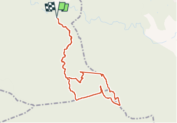

Length
10.3 km

Max alt
771 m

Uphill gradient
440 m
Km-Effort
16.1 km

Min alt
328 m

Downhill gradient
441 m
Boucle
Yes
Creation date :
2024-03-24 08:55:14.248
Updated on :
2024-04-07 14:20:25.416
3h14
Difficulty : Medium

FREE GPS app for hiking
 SityTrail
IGN / Geographical institutes
SityTrail Plus
The world is yours!
About
Trail Walking of 10.3 km to be discovered at Provence-Alpes-Côte d'Azur, Bouches-du-Rhône, Peyrolles-en-Provence. This trail is proposed by ARPF1.
Description
randonnee trou de la lune capelle consorce
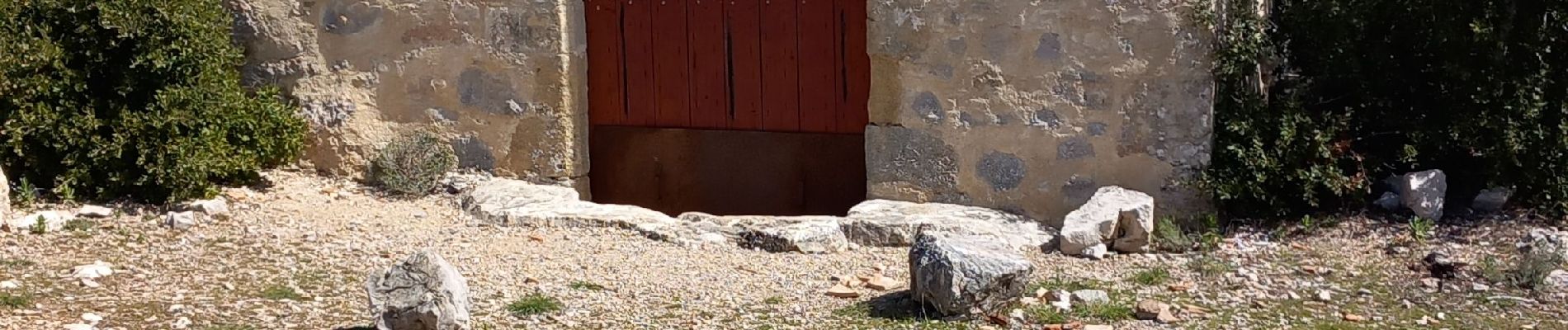
Photos

Positioning
Country:
France
Region :
Provence-Alpes-Côte d'Azur
Department/Province :
Bouches-du-Rhône
Municipality :
Peyrolles-en-Provence
Location:
Unknown
Start:(Dec)
Start:(UTM)
709477 ; 4832109 (31T) N.
Comments