


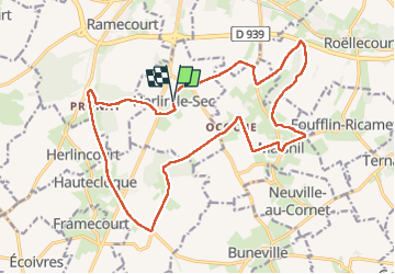

35 km | 40 km-effort

User


FREE GPS app for hiking
 SityTrail
IGN / Geographical institutes
SityTrail World
The world is yours!
Trail Walking of 19.4 km to be discovered at Hauts-de-France, Pas-de-Calais, Herlin-le-Sec. This trail is proposed by jpblimond.


Other activity
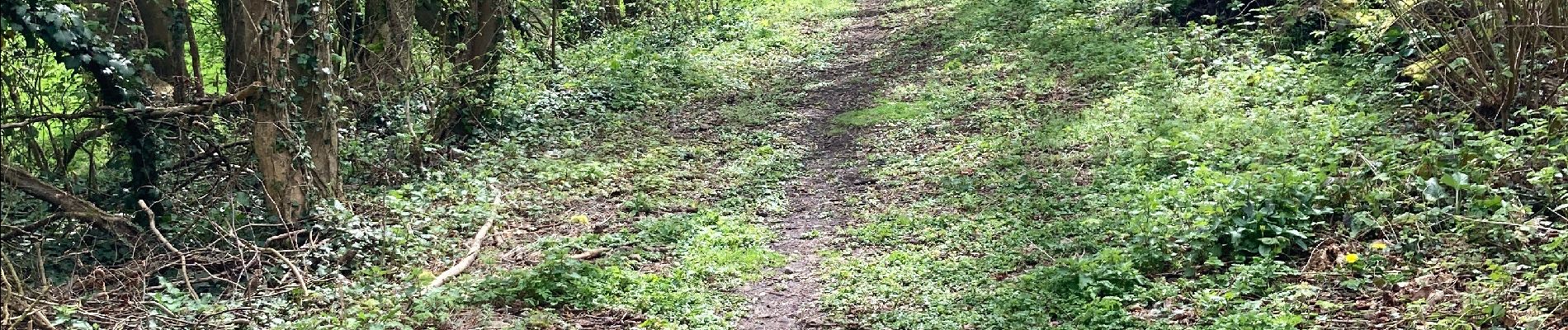
On foot