


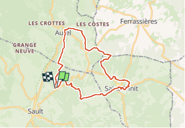
sault, saint trinit, aurel, sault

FLORENSAC
User

Length
17.1 km

Max alt
863 m

Uphill gradient
266 m
Km-Effort
21 km

Min alt
770 m

Downhill gradient
269 m
Boucle
Yes
Creation date :
2024-04-07 07:52:56.784
Updated on :
2024-04-09 08:05:28.534
6h45
Difficulty : Medium

FREE GPS app for hiking
 SityTrail
IGN / Geographical institutes
SityTrail Plus
The world is yours!
About
Trail Walking of 17.1 km to be discovered at Provence-Alpes-Côte d'Azur, Vaucluse, Sault. This trail is proposed by FLORENSAC.
Description
un peu longuet mais en sous bois ça passe
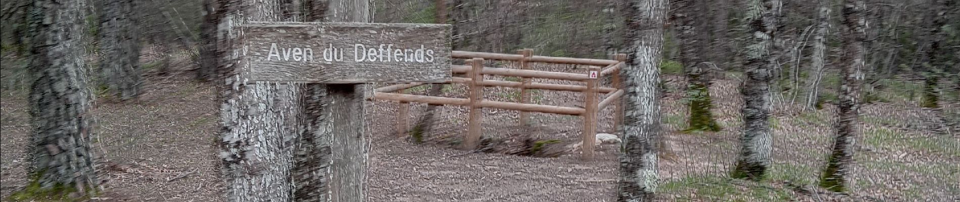
Photos


Positioning
Country:
France
Region :
Provence-Alpes-Côte d'Azur
Department/Province :
Vaucluse
Municipality :
Sault
Location:
Unknown
Start:(Dec)
Start:(UTM)
693928 ; 4886161 (31T) N.
Comments