montagne des ventes

ajd26
User
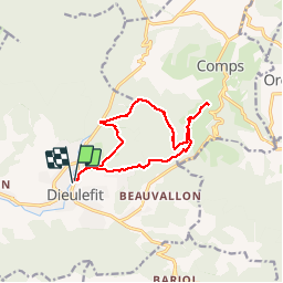

Length
15.1 km

Max alt
927 m

Uphill gradient
765 m
Km-Effort
25 km

Min alt
389 m

Downhill gradient
759 m
Boucle
Yes
Creation date :
2019-05-19 18:05:16.651
Updated on :
2019-05-19 18:05:19.054
5h58
Difficulty : Medium

FREE GPS app for hiking
 SityTrail
IGN / Geographical institutes
SityTrail Plus
The world is yours!
About
Trail Other activity of 15.1 km to be discovered at Auvergne-Rhône-Alpes, Drôme, Dieulefit. This trail is proposed by ajd26.
Description
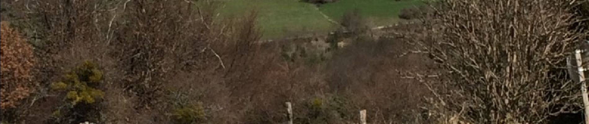
Départ Dieulefit, puis Comps et la montagne des ventes 15 km, 5h, dénivelé 880m
Photos

Positioning
Country:
France
Region :
Auvergne-Rhône-Alpes
Department/Province :
Drôme
Municipality :
Dieulefit
Location:
Unknown
Start:(Dec)
Start:(UTM)
664208 ; 4932477 (31T) N.
Comments