


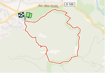
z le jardin de Diane 09-04-24 bis

cb8310
User

Length
5 km

Max alt
145 m

Uphill gradient
142 m
Km-Effort
6.8 km

Min alt
34 m

Downhill gradient
140 m
Boucle
Yes
Creation date :
2024-04-09 11:54:13.69
Updated on :
2025-04-15 12:00:16.755
1h33
Difficulty : Medium

FREE GPS app for hiking
 SityTrail
IGN / Geographical institutes
SityTrail Plus
The world is yours!
About
Trail Walking of 5 km to be discovered at Provence-Alpes-Côte d'Azur, Var, Saint-Raphaël. This trail is proposed by cb8310.
Description
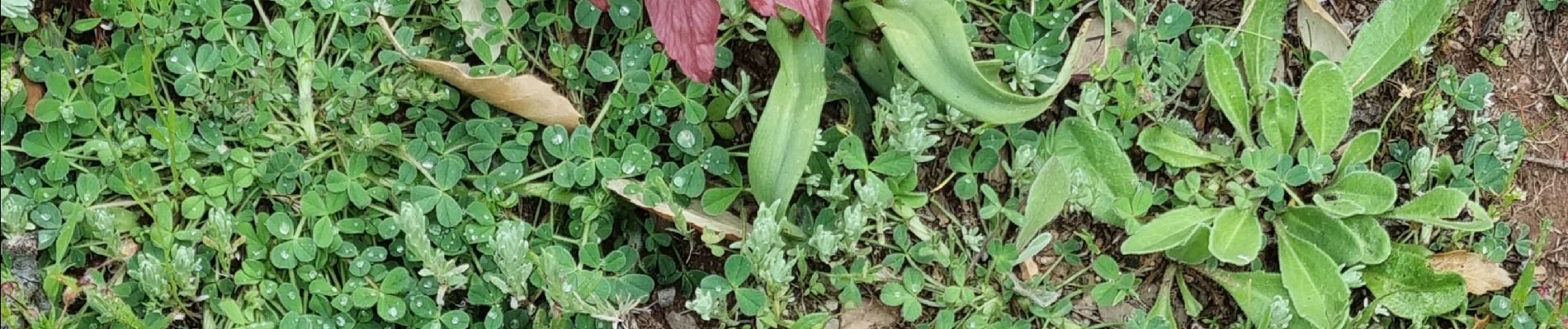
rando zen relativement difficile par quelques montées et descentes abruptes mais dans un environnement floral magnifique
Photos


Positioning
Country:
France
Region :
Provence-Alpes-Côte d'Azur
Department/Province :
Var
Municipality :
Saint-Raphaël
Location:
Unknown
Start:(Dec)
Start:(UTM)
323724 ; 4812872 (32T) N.
Comments