


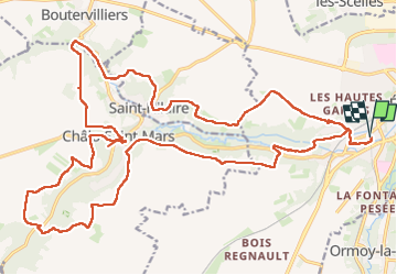

14.6 km | 17.1 km-effort


User


FREE GPS app for hiking
 SityTrail
IGN / Geographical institutes
SityTrail World
The world is yours!
Trail Walking of 31 km to be discovered at Ile-de-France, Essonne, Étampes. This trail is proposed by chessyca.
Itinéraire 30 km passant par Chalo/mars, St Martin d'Etampes
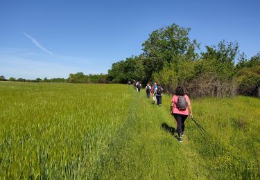
Walking
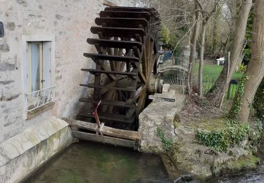
Walking

Walking

Walking
Walking
Walking

Walking
Walking
Walking