


Plan incliné Haselbourg

LUTZMarc
User
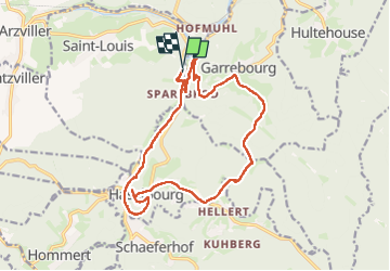

Length
16.4 km

Max alt
450 m

Uphill gradient
556 m
Km-Effort
24 km

Min alt
226 m

Downhill gradient
558 m
Boucle
Yes
Creation date :
2024-04-04 07:09:09.063
Updated on :
2024-04-10 17:26:57.784
4h01
Difficulty : Medium

FREE GPS app for hiking
 SityTrail
IGN / Geographical institutes
SityTrail Plus
The world is yours!
About
Trail Walking of 16.4 km to be discovered at Grand Est, Moselle, Saint-Louis. This trail is proposed by LUTZMarc.
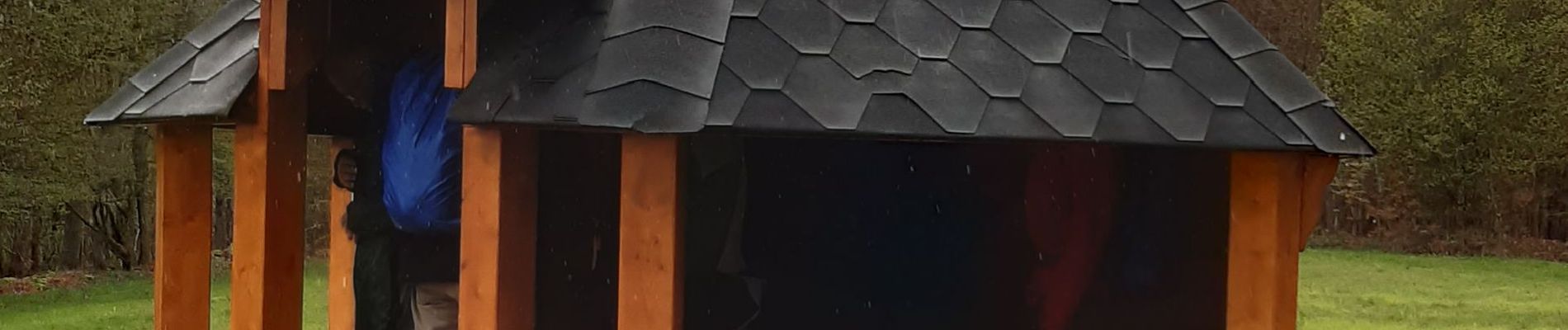
Photos

Positioning
Country:
France
Region :
Grand Est
Department/Province :
Moselle
Municipality :
Saint-Louis
Location:
Unknown
Start:(Dec)
Start:(UTM)
368696 ; 5396809 (32U) N.
Comments