19.5 km | 25 km-effort
52 MILLIERES reconnaissance Nelly
Lucienfilippi
User
Length
15.1 km
Max alt
442 m
Uphill gradient
267 m
Km-Effort
18.7 km
Min alt
369 m
Downhill gradient
267 m
Boucle
Yes
Creation date :
2024-04-12 11:54:19.0
Updated on :
2024-04-12 18:57:53.555
FREE GPS app for hiking
About
Trail of 15.1 km to be discovered at Grand Est, Haute-Marne, Millières. This trail is proposed by Lucienfilippi.
Description
MILLIERES place sortie village
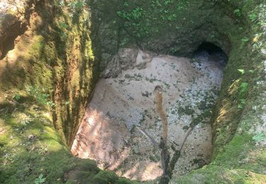
Descente sueure
THIL les milleres
Ferme de marly
Retour rivière
MILLIERES
Positioning
Country:
France
Region :
Grand Est
Department/Province :
Haute-Marne
Municipality :
Millières
Location:
Unknown
Start:(Dec)
Start:(UTM)
680247 ; 5334571 (31U) N.
Comments
Trails nearby
Millieres
Walking
Medium
Millières,
Grand Est,
Haute-Marne,
France
11.9 km | 14.3 km-effort
3h 1min
Yes
52 CONSIGNY NELLY 17 nov 2021
Walking
Easy
Consigny,
Grand Est,
Haute-Marne,
France
12.8 km | 15.7 km-effort
4h 4min
Yes
52 CONSIGNY Peute fosse
sport
Very easy
Consigny,
Grand Est,
Haute-Marne,
France
10.4 km | 13.6 km-effort
Unknown
Yes
52 MILLIERES 12 janv 2022
Walking
Very easy
Millières,
Grand Est,
Haute-Marne,
France
11.8 km | 14.3 km-effort
3h 41min
Yes
52 MENNOUVEAUX mars2021
Walking
(1)
Mennouveaux,
Grand Est,
Haute-Marne,
France
12.7 km | 16 km-effort
3h 10min
Yes
millieres
Walking
Easy
Millières,
Grand Est,
Haute-Marne,
France
12.4 km | 15 km-effort
2h 47min
Yes
Millieres soir
Walking
Easy
Millières,
Grand Est,
Haute-Marne,
France
7.6 km | 9.2 km-effort
1h 49min
Yes
millieres matin
Walking
Very easy
Millières,
Grand Est,
Haute-Marne,
France
3.7 km | 4.4 km-effort
1h 1min
Yes