


PR_56_Ploemeur_AA_01_Les-Sables_Circuit3a_20240413

patrickdanilo
User

Length
13.6 km

Max alt
24 m

Uphill gradient
101 m
Km-Effort
14.9 km

Min alt
0 m

Downhill gradient
103 m
Boucle
Yes
Creation date :
2024-04-13 07:34:23.046
Updated on :
2025-07-28 12:28:37.677
2h53
Difficulty : Difficult

FREE GPS app for hiking
 SityTrail
IGN / Geographical institutes
SityTrail Plus
The world is yours!
About
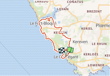
Trail Walking of 13.6 km to be discovered at Brittany, Morbihan, Plœmeur. This trail is proposed by patrickdanilo.
Description
Randonnée Marche de 13,6 km à découvrir à Bretagne, Morbihan, Plœmeur. Cette randonnée est proposée par patrickdanilo.
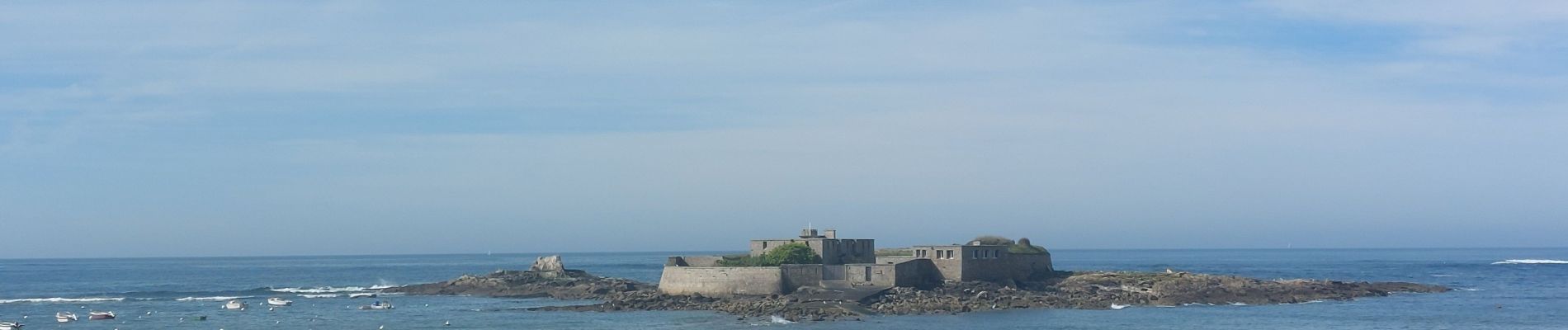
Photos


Positioning
Country:
France
Region :
Brittany
Department/Province :
Morbihan
Municipality :
Plœmeur
Location:
Unknown
Start:(Dec)
Start:(UTM)
464645 ; 5284337 (30T) N.
Comments