


Font de l’Orme-Croix de Fer-Menerbes-Pic Faiendre(17K 950D+)

kayamb
User


Length
16.3 km

Max alt
720 m

Uphill gradient
928 m
Km-Effort
29 km

Min alt
249 m

Downhill gradient
926 m
Boucle
Yes
Creation date :
2024-04-14 06:37:56.0
Updated on :
2024-04-14 10:10:57.738
2h57
Difficulty : Difficult

FREE GPS app for hiking
 SityTrail
IGN / Geographical institutes
SityTrail Plus
The world is yours!
About
Trail Trail of 16.3 km to be discovered at Provence-Alpes-Côte d'Azur, Vaucluse, Cheval-Blanc. This trail is proposed by kayamb.
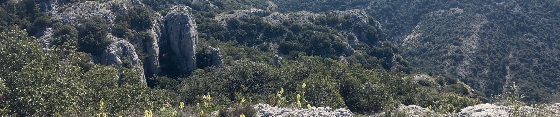
Photos
 - Photo 1")
 - Photo 2")
 - Photo 3")
 - Photo 4")
 - Photo 5")
 - Photo 6")
 - Photo 7")
 - Photo 8")
 - Photo 9")
Positioning
Country:
France
Region :
Provence-Alpes-Côte d'Azur
Department/Province :
Vaucluse
Municipality :
Cheval-Blanc
Location:
Unknown
Start:(Dec)
Start:(UTM)
676313 ; 4849157 (31T) N.
Comments