


Besseges Aujac GR pays

Roger Philippe Wallez
User GUIDE
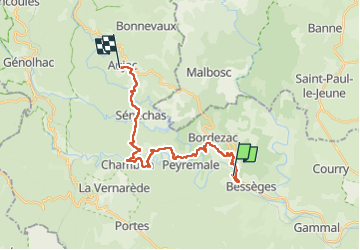

Length
23 km

Max alt
504 m

Uphill gradient
1164 m
Km-Effort
37 km

Min alt
166 m

Downhill gradient
834 m
Boucle
No
Creation date :
2024-04-15 06:29:04.0
Updated on :
2024-04-15 16:34:07.605
10h03
Difficulty : Very difficult

FREE GPS app for hiking
 SityTrail
IGN / Geographical institutes
SityTrail Plus
The world is yours!
About
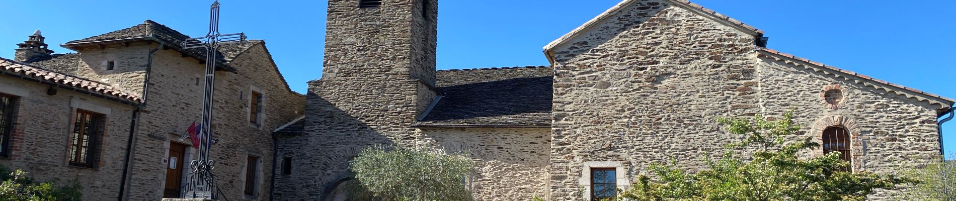
Trail Walking of 23 km to be discovered at Occitania, Gard, Bessèges. This trail is proposed by Roger Philippe Wallez.
Photos


Positioning
Country:
France
Region :
Occitania
Department/Province :
Gard
Municipality :
Bessèges
Location:
Unknown
Start:(Dec)
Start:(UTM)
587068 ; 4905247 (31T) N.
Comments