


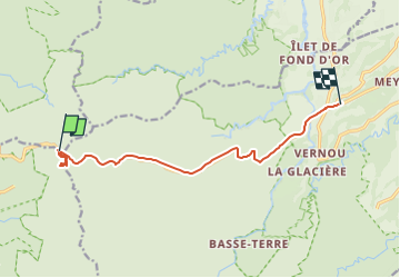

3.4 km | 4.7 km-effort

User


FREE GPS app for hiking
 SityTrail
IGN / Geographical institutes
SityTrail World
The world is yours!
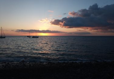
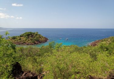
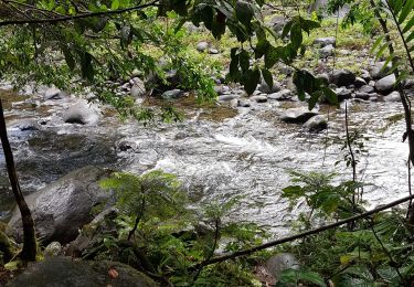
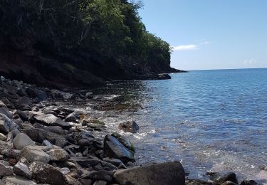
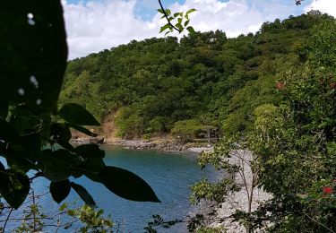
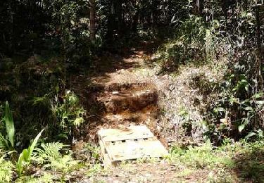
Trail Walking of 14 km to be discovered at Guadeloupe, Unknown, Pointe-Noire. This trail is proposed by Jean Pierre Terriere.
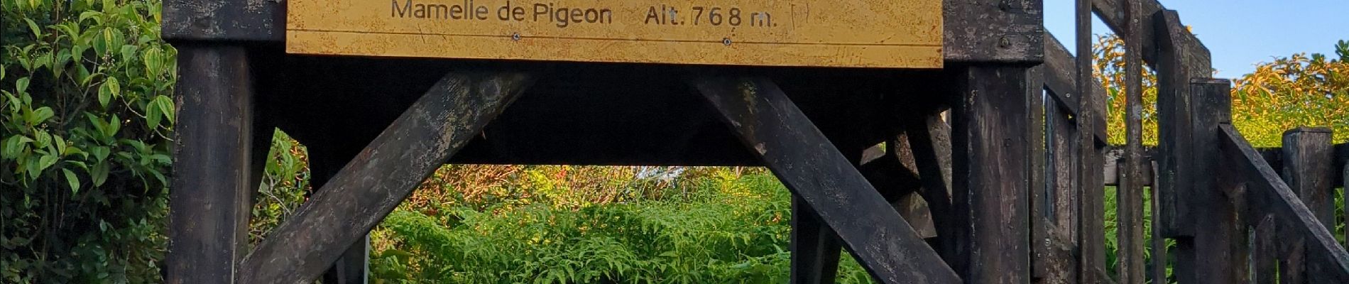
petite rando, escaliers , passages aménagés, beau panorama sur les deux versants et la Soufrière.


On foot
Walking
Walking
Canoe - kayak
Walking
Walking
Running

Walking