


Finca romelia

jib971
User
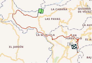

Length
24 km

Max alt
1575 m

Uphill gradient
835 m
Km-Effort
35 km

Min alt
1027 m

Downhill gradient
756 m
Boucle
No
Creation date :
2024-04-15 21:57:27.0
Updated on :
2024-04-16 02:19:49.604

FREE GPS app for hiking
 SityTrail
IGN / Geographical institutes
SityTrail World
The world is yours!
About
Trail of 24 km to be discovered at Caldas, Manizales. This trail is proposed by jib971.
Description
Finca Romelia
Orchidées
Positioning
Country:
Colombia
Region :
Caldas
Department/Province :
Manizales
Municipality :
Unknown
Location:
Unknown
Start:(Dec)
Start:(UTM)
431438 ; 562045 (18N) N.
Comments
Trails nearby