


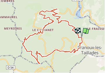

18.1 km | 25 km-effort


User


FREE GPS app for hiking
 SityTrail
IGN / Geographical institutes
SityTrail World
The world is yours!
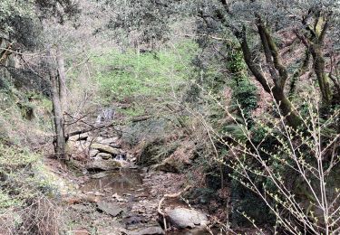
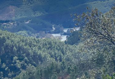
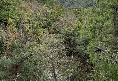
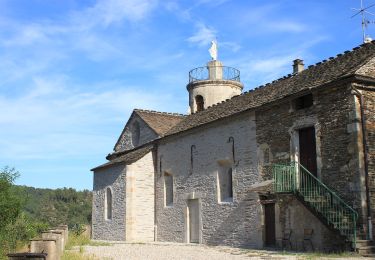
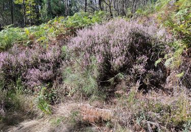
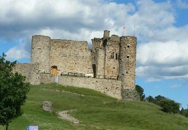
Trail Walking of 15.3 km to be discovered at Occitania, Gard, Branoux-les-Taillades. This trail is proposed by mduveau.
Walking
Walking
Walking
Walking
On foot
Walking
Other activity

Walking