Trail Walking Ogassa - 20240417 Ogassa - Photo

20240417 Ogassa

© OpenStreetMap contributors
Length
Length
4.8 km
Max alt
Max alt
1217 m
Uphill gradient
Uphill gradient
234 m
Km-Effort
Km-Effort  
8 km
Min alt
Min alt
966 m
Downhill gradient
Downhill gradient
256 m
Boucle
Boucle
No
Creation date :
2024-04-17 09:09:11.699
Updated on :
2024-04-17 11:03:59.807

(0 Reviews)

Walking
Walking
1h30
Difficulty : Medium

Scan this QR Code to open this trail in the SityTrail application

FREE GPS app for hiking

Logo SityTrail SityTrail

IGN / Geographical institutes

Download SityTrail from the App Store Download SityTrail from Google Play

Logo SityTrail SityTrail World

The world is yours!

Download SityTrail from the App Store Download SityTrail from Google Play Download SityTrail on Huawei AppGallery

About

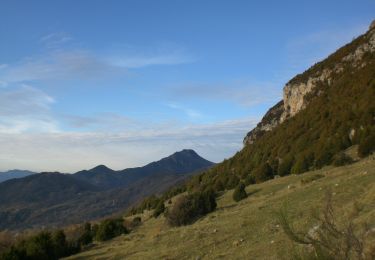
Trail Walking of 4.8 km to be discovered at Catalonia, Girona, Ogassa. This trail is proposed by Philippe Brandenbourger.

Elevation profile

Positioning

Country:
Spain
Region :
Catalonia
Department/Province :
Girona
Municipality :
Ogassa
Location:
Unknown
Start:(UTM)
440144 ; 4679716 (31T) N.

Trails nearby

Trail On foot Ogassa - Ogassa-Sant Martí Surroca - Photo
On foot
PRO

On foot

Easy
Ogassa, Catalonia, Girona, Spain
7.9 km | 13 km-effort
2h 57min
Yes
Trail Walking Ogassa - 20240416 Ogassa - Photo
Walking
Philippe Brandenbourger

Walking

Medium
Ogassa, Catalonia, Girona, Spain
8.7 km | 13.7 km-effort
2h 30min
Yes


Close
My subscriptions