


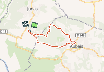

14 km | 16.9 km-effort


User


FREE GPS app for hiking
 SityTrail
IGN / Geographical institutes
SityTrail World
The world is yours!
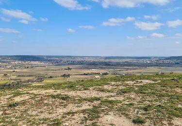
Trail Walking of 6.4 km to be discovered at Occitania, Gard, Junas. This trail is proposed by Galoche.
Depuis le camping Les Chênes à Junas en passant par le Mas de la Vieille et retour par la Tour


Walking

Mountain bike

Walking

Equestrian

Walking
Walking
Walking
Walking
Walking