Trail Walking Trois-Ponts - RB-Lg-29_Wanne_via-racc - Photo

RB-Lg-29_Wanne_via-racc

Randonnez sur et autour des GR ® wallons (Sentiers de Grande Randonnée). PRO

© OpenStreetMap contributors
Length
Length
14.4 km
Max alt
Max alt
579 m
Uphill gradient
Uphill gradient
373 m
Km-Effort
Km-Effort  
19.3 km
Min alt
Min alt
389 m
Downhill gradient
Downhill gradient
369 m
Boucle
Boucle
Yes
Creation date :
2019-08-07 07:22:37.265
Updated on :
2024-04-26 13:19:08.16

(0 Reviews)

Walking
Walking
4h23
Difficulty : Unknown

Scan this QR Code to open this trail in the SityTrail application

FREE GPS app for hiking

Logo SityTrail SityTrail

IGN / Geographical institutes

Download SityTrail from the App Store Download SityTrail from Google Play

Logo SityTrail SityTrail World

The world is yours!

Download SityTrail from the App Store Download SityTrail from Google Play Download SityTrail on Huawei AppGallery

About

Trail Walking of 14.4 km to be discovered at Wallonia, Liège, Trois-Ponts. This trail is proposed by GR Rando.

Description

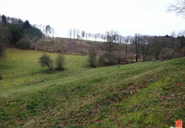
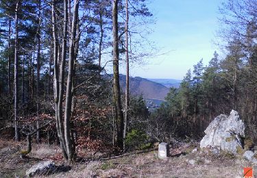
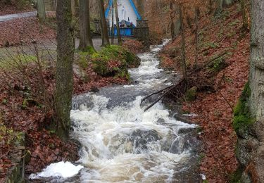
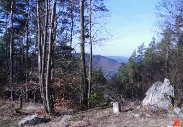
Cette randonnée prend son départ à Wanne, petit village perché à 480 mètres d’altitude, sur les hauteurs de Trois-Ponts. Les chemins et sentiers courent à travers le haut plateau, parmi les conifères, qui, l’été, exhalent la résine mêlée d’un parfum d’écorces desséchées et qui, l’hiver, sont parcourus par un air vif et piquant. Dans les parcelles de feuillus abondent la bruyère et les buissons de myrtilles. Une partie de la boucle longe l’ancienne frontière belgo-prussienne et arpente le Vieux chemin du Luxembourg.

Photos

Points of interest

Point of interest Trois-Ponts - Wanne - Photo
GR Rando
TROIS-PONTS 
Point of interest Trois-Ponts - Croix des Roches et ruisseau du Bouyin - Photo
GR Rando
Point of interest Trois-Ponts - les roches des Massotais - Photo
GR Rando
Point of interest Trois-Ponts - Vue sur Wanne - Photo
GR Rando
TROIS-PONTS 
Point of interest Trois-Ponts - Le Faix du Diable - Photo
GR Rando
TROIS-PONTS 

Positioning

Country:
Belgium
Region :
Wallonia
Department/Province :
Liège
Municipality :
Trois-Ponts
Location:
Unknown
Start:(UTM)
707760 ; 5582219 (31U) N.

Comments

Please log in to post a review or rate the element


Magnifique petite rando dans la neige ! :-) 17/01/2016. De superbes vues


Trails nearby

Trail Walking Trois-Ponts - RB-Lg-29_Wanne - Photo
Walking
PRO

Walking

(5)
Trois-Ponts, Wallonia, Liège, Belgium
22 km | 29 km-effort
6h 41min
Yes
Trail Walking Trois-Ponts - RB-Lg-27_Trois-Ponts - Photo
Walking
PRO

Walking

(7)
Trois-Ponts, Wallonia, Liège, Belgium
23 km | 33 km-effort
7h 30min
Yes
Trail Walking Trois-Ponts - Logbiermé. Natura 2000, des sites qui valent le détour ! Lg5 - Photo
Walking
GUIDE+

Walking

Easy
(9)
Trois-Ponts, Wallonia, Liège, Belgium
8.4 km | 10.9 km-effort
Unknown
Yes
Trail Walking Stavelot - 2021-06-30_12h14m27_stavelot_13km_new - Photo
Walking
GUIDE
mumu.larandonneuse

Walking

Medium
(2)
Stavelot, Wallonia, Liège, Belgium
13.4 km | 19.8 km-effort
4h 30min
Yes
Trail Walking Stavelot - 2021-03-10_14h59m08_1227 - Photo
Walking
GUIDE
mumu.larandonneuse

Walking

Difficult
(3)
Stavelot, Wallonia, Liège, Belgium
18.8 km | 26 km-effort
5h 53min
No
Trail Walking Trois-Ponts - RB-Lg-27_Trois-Ponts_via-racc - Photo
Walking
PRO

Walking

Very difficult
(1)
Trois-Ponts, Wallonia, Liège, Belgium
16.9 km | 25 km-effort
5h 36min
Yes
Trail Walking Stavelot - Chemin des Sources |stage 3 STAVELOT - HOCKAI - Photo
Walking
PRO

Walking

Very difficult
(1)
Stavelot, Wallonia, Liège, Belgium
19 km | 25 km-effort
5h 45min
No
Trail Trail Stavelot - Extratrail - Stavelot (red) 23km - Photo
Trail
PRO

Trail

Very difficult
(1)
Stavelot, Wallonia, Liège, Belgium
23 km | 35 km-effort
Unknown
Yes
Trail Trail Stavelot - Extra Trail - Stavelot (blue) 13km - Photo
Trail
PRO

Trail

Difficult
(1)
Stavelot, Wallonia, Liège, Belgium
13.4 km | 19.5 km-effort
Unknown
Yes


Close
My subscriptions