


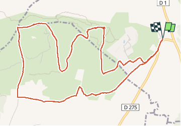
Balade entre Calvisson et Aigues Vives

kephas
User

Length
8 km

Max alt
85 m

Uphill gradient
116 m
Km-Effort
9.6 km

Min alt
30 m

Downhill gradient
116 m
Boucle
Yes
Creation date :
2024-04-19 10:14:46.0
Updated on :
2024-04-19 15:02:55.766

FREE GPS app for hiking
 SityTrail
IGN / Geographical institutes
SityTrail Plus
The world is yours!
About
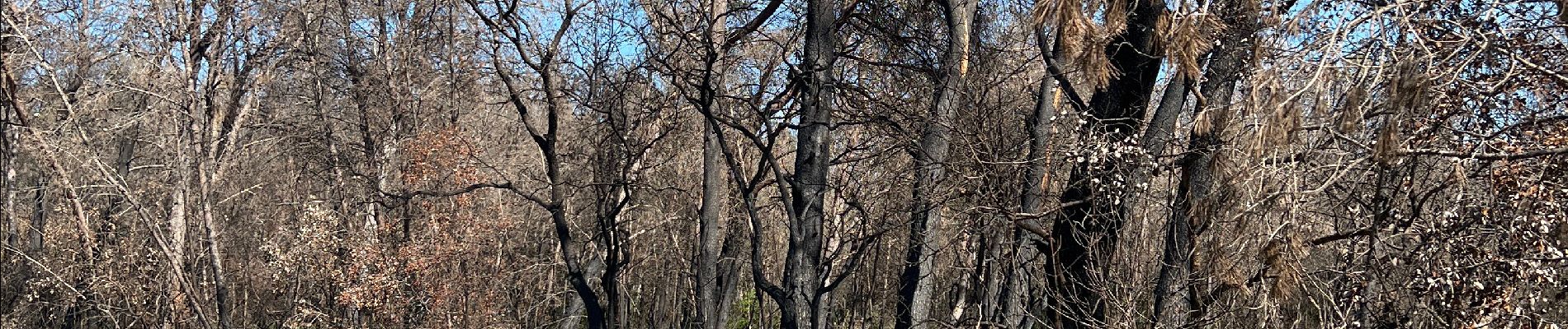
Trail of 8 km to be discovered at Occitania, Gard, Calvisson. This trail is proposed by kephas.
Photos


Positioning
Country:
France
Region :
Occitania
Department/Province :
Gard
Municipality :
Calvisson
Location:
Unknown
Start:(Dec)
Start:(UTM)
596694 ; 4845983 (31T) N.
Comments