


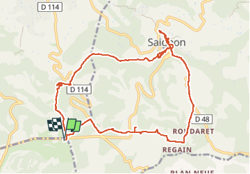
Buoux /Saignon

FLORENSAC
User

Length
12.4 km

Max alt
591 m

Uphill gradient
240 m
Km-Effort
15.6 km

Min alt
432 m

Downhill gradient
240 m
Boucle
Yes
Creation date :
2024-04-21 07:45:07.266
Updated on :
2024-04-21 13:32:41.584
5h45
Difficulty : Difficult

FREE GPS app for hiking
 SityTrail
IGN / Geographical institutes
SityTrail Plus
The world is yours!
About
Trail Walking of 12.4 km to be discovered at Provence-Alpes-Côte d'Azur, Vaucluse, Buoux. This trail is proposed by FLORENSAC.
Description
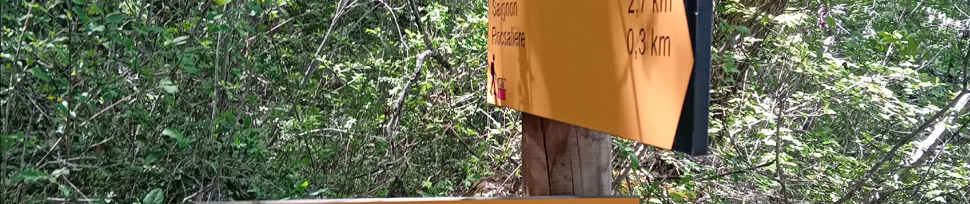
se garer au parking des claparedes
un tres jolie rando
pour aller a Saignon via le rocher des druides
Photos


Positioning
Country:
France
Region :
Provence-Alpes-Côte d'Azur
Department/Province :
Vaucluse
Municipality :
Buoux
Location:
Unknown
Start:(Dec)
Start:(UTM)
693205 ; 4857505 (31T) N.
Comments