


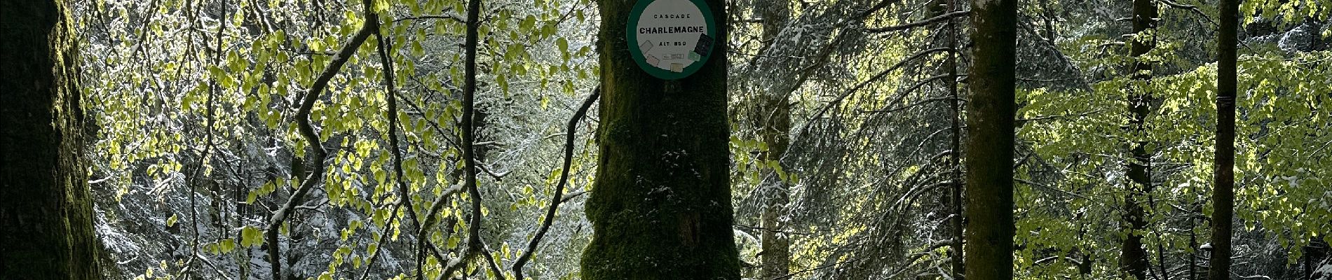
Cascade Charlemagne

nicolasdresse
User
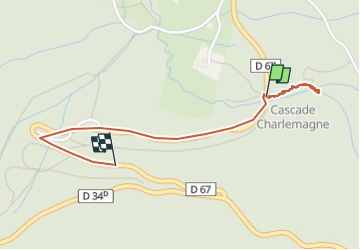

Length
1.5 km

Max alt
894 m

Uphill gradient
100 m
Km-Effort
2.6 km

Min alt
820 m

Downhill gradient
33 m
Boucle
No
Creation date :
2024-04-21 14:59:09.0
Updated on :
2024-04-21 15:40:46.484
41m
Difficulty : Easy

FREE GPS app for hiking
 SityTrail
IGN / Geographical institutes
SityTrail Plus
The world is yours!
About
Trail Walking of 1.5 km to be discovered at Grand Est, Vosges, Xonrupt-Longemer. This trail is proposed by nicolasdresse.
Photos


Positioning
Country:
France
Region :
Grand Est
Department/Province :
Vosges
Municipality :
Xonrupt-Longemer
Location:
Unknown
Start:(Dec)
Start:(UTM)
350143 ; 5324127 (32U) N.
Comments