


Marcnelles 22/04/24 1 sortie

andremusin
User
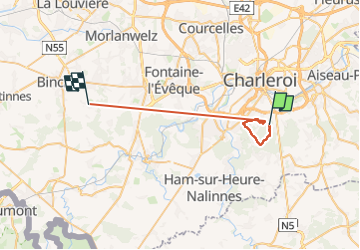

Length
26 km

Max alt
233 m

Uphill gradient
462 m
Km-Effort
32 km

Min alt
108 m

Downhill gradient
491 m
Boucle
No
Creation date :
2024-04-22 07:41:18.105
Updated on :
2024-04-22 12:57:49.91
1h59
Difficulty : Easy

FREE GPS app for hiking
 SityTrail
IGN / Geographical institutes
SityTrail Plus
The world is yours!
About
Trail Nordic walking of 26 km to be discovered at Wallonia, Hainaut, Charleroi. This trail is proposed by andremusin.
Positioning
Country:
Belgium
Region :
Wallonia
Department/Province :
Hainaut
Municipality :
Charleroi
Location:
Unknown
Start:(Dec)
Start:(UTM)
603497 ; 5581082 (31U) N.
Comments