


Artannes-sur-Indre - Zig zag Pont-de-Ruan - 22.1km 280m 4h50 (40mn) - 2024 04 22

Orcal37
User GUIDE
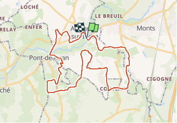

Length
22 km

Max alt
100 m

Uphill gradient
284 m
Km-Effort
26 km

Min alt
45 m

Downhill gradient
284 m
Boucle
Yes
Creation date :
2024-04-22 09:19:12.168
Updated on :
2024-04-24 08:46:37.962
4h50
Difficulty : Medium

FREE GPS app for hiking
 SityTrail
IGN / Geographical institutes
SityTrail Plus
The world is yours!
About
Trail Walking of 22 km to be discovered at Centre-Loire Valley, Indre-et-Loire, Artannes-sur-Indre. This trail is proposed by Orcal37.
Description
Artannes-sur-Indre - Zig zag - le Montison - Moulin de Balzac à Pont-de-Ruan - 22.1km 280m 4h50 (40mn) - 2024 04 22
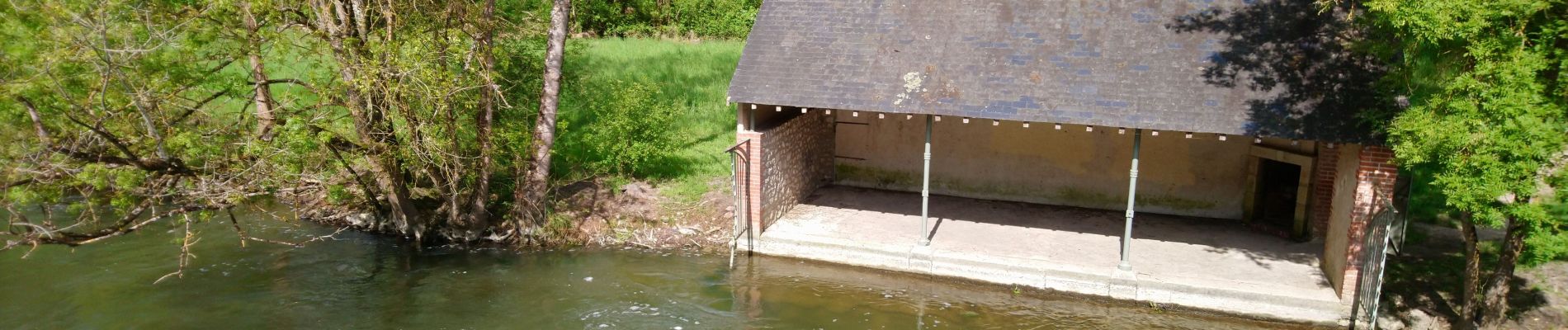
Photos
 - 2024 04 22 - Photo 1")
 - 2024 04 22 - Photo 2")
 - 2024 04 22 - Photo 3")
 - 2024 04 22 - Photo 4")
 - 2024 04 22 - Photo 5")
 - 2024 04 22 - Photo 6")
 - 2024 04 22 - Photo 7")
Positioning
Country:
France
Region :
Centre-Loire Valley
Department/Province :
Indre-et-Loire
Municipality :
Artannes-sur-Indre
Location:
Unknown
Start:(Dec)
Start:(UTM)
318547 ; 5237944 (31T) N.
Comments