


Parque Tayrona

jib971
User
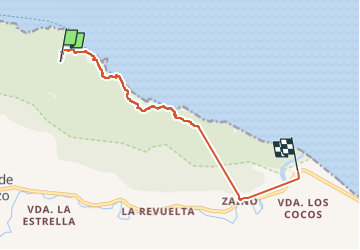

Length
14.7 km

Max alt
211 m

Uphill gradient
361 m
Km-Effort
20 km

Min alt
0 m

Downhill gradient
500 m
Boucle
No
Creation date :
2024-04-22 16:06:11.0
Updated on :
2024-04-22 21:29:29.669

FREE GPS app for hiking
 SityTrail
IGN / Geographical institutes
SityTrail Plus
The world is yours!
About
Trail of 14.7 km to be discovered at Magdalena, Santa Marta. This trail is proposed by jib971.
Positioning
Country:
Colombia
Region :
Magdalena
Department/Province :
Santa Marta
Municipality :
Unknown
Location:
Unknown
Start:(Dec)
Start:(UTM)
611709 ; 1252417 (18P) N.
Comments