2024-04-23

rando30129
User
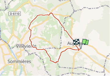

Length
8.3 km

Max alt
102 m

Uphill gradient
99 m
Km-Effort
9.6 km

Min alt
49 m

Downhill gradient
99 m
Boucle
Yes
Creation date :
2024-04-23 12:12:00.169
Updated on :
2024-04-23 14:41:04.83
2h27
Difficulty : Medium

FREE GPS app for hiking
 SityTrail
IGN / Geographical institutes
SityTrail Plus
The world is yours!
About
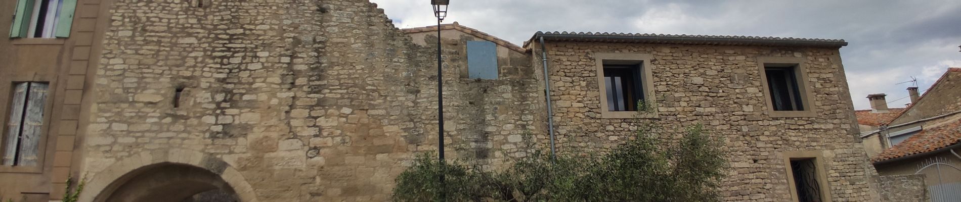
Trail Walking of 8.3 km to be discovered at Occitania, Gard, Aujargues. This trail is proposed by rando30129.
Photos


Positioning
Country:
France
Region :
Occitania
Department/Province :
Gard
Municipality :
Aujargues
Location:
Unknown
Start:(Dec)
Start:(UTM)
590446 ; 4848883 (31T) N.
Comments