


Touet sur Var

Renefrt
User
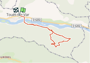

Length
9.8 km

Max alt
695 m

Uphill gradient
456 m
Km-Effort
15.8 km

Min alt
307 m

Downhill gradient
456 m
Boucle
Yes
Creation date :
2024-04-25 06:43:35.0
Updated on :
2024-04-28 13:27:52.225
6h12
Difficulty : Medium

FREE GPS app for hiking
 SityTrail
IGN / Geographical institutes
SityTrail Plus
The world is yours!
About
Trail Walking of 9.8 km to be discovered at Provence-Alpes-Côte d'Azur, Maritime Alps, Touët-sur-Var. This trail is proposed by Renefrt.
Description
Dans la montée aprés le pylone un petit passage délicat.
Par contre dans la descente le balisage jaune s'arrête subitement on a suivi divers balisages rouges.
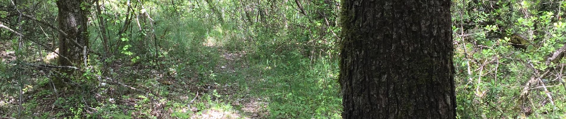
Photos


Positioning
Country:
France
Region :
Provence-Alpes-Côte d'Azur
Department/Province :
Maritime Alps
Municipality :
Touët-sur-Var
Location:
Unknown
Start:(Dec)
Start:(UTM)
340227 ; 4868024 (32T) N.
Comments