


Fontvieille

Roger Philippe Wallez
User GUIDE
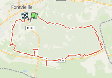

Length
14.4 km

Max alt
108 m

Uphill gradient
196 m
Km-Effort
17 km

Min alt
18 m

Downhill gradient
197 m
Boucle
Yes
Creation date :
2024-04-27 09:11:01.0
Updated on :
2024-04-27 13:33:05.735
4h13
Difficulty : Difficult

FREE GPS app for hiking
 SityTrail
IGN / Geographical institutes
SityTrail Plus
The world is yours!
About
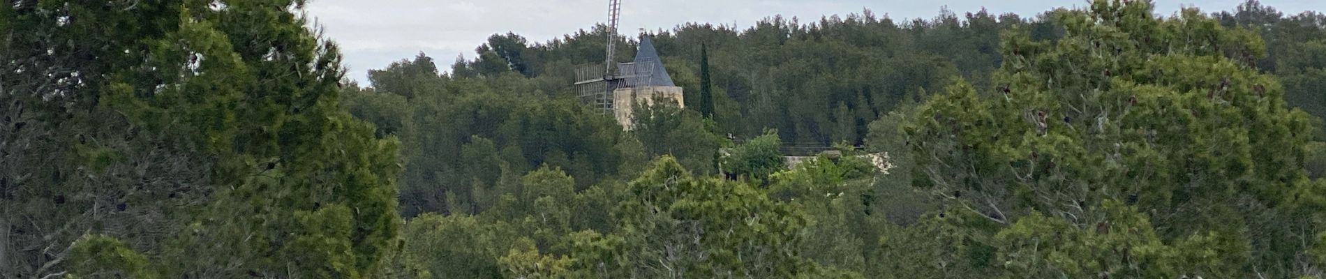
Trail Walking of 14.4 km to be discovered at Provence-Alpes-Côte d'Azur, Bouches-du-Rhône, Fontvieille. This trail is proposed by Roger Philippe Wallez.
Photos


Positioning
Country:
France
Region :
Provence-Alpes-Côte d'Azur
Department/Province :
Bouches-du-Rhône
Municipality :
Fontvieille
Location:
Unknown
Start:(Dec)
Start:(UTM)
637919 ; 4842229 (31T) N.
Comments