


Bléré

Pascal Bernaud
User

Length
14 km

Max alt
98 m

Uphill gradient
111 m
Km-Effort
15.4 km

Min alt
50 m

Downhill gradient
111 m
Boucle
Yes
Creation date :
2024-05-02 07:00:35.0
Updated on :
2024-05-02 09:44:47.684
2h43
Difficulty : Difficult

FREE GPS app for hiking
 SityTrail
IGN / Geographical institutes
SityTrail Plus
The world is yours!
About
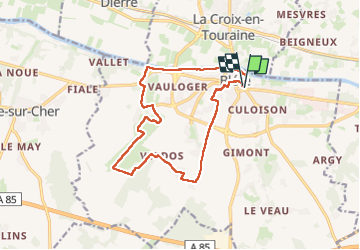
Trail Walking of 14 km to be discovered at Centre-Loire Valley, Indre-et-Loire, Bléré. This trail is proposed by Pascal Bernaud.
Positioning
Country:
France
Region :
Centre-Loire Valley
Department/Province :
Indre-et-Loire
Municipality :
Bléré
Location:
Unknown
Start:(Dec)
Start:(UTM)
348491 ; 5243355 (31T) N.
Comments