


Ardèche Gard etap7

taguette
User
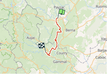

Length
33 km

Max alt
419 m

Uphill gradient
722 m
Km-Effort
43 km

Min alt
146 m

Downhill gradient
702 m
Boucle
No
Creation date :
2024-05-02 05:59:26.875
Updated on :
2024-05-02 16:07:14.43
9h33
Difficulty : Very difficult

FREE GPS app for hiking
 SityTrail
IGN / Geographical institutes
SityTrail Plus
The world is yours!
About
Trail Walking of 33 km to be discovered at Auvergne-Rhône-Alpes, Ardèche, Chambonas. This trail is proposed by taguette.
Positioning
Country:
France
Region :
Auvergne-Rhône-Alpes
Department/Province :
Ardèche
Municipality :
Chambonas
Location:
Unknown
Start:(Dec)
Start:(UTM)
590680 ; 4918411 (31T) N.
Comments