


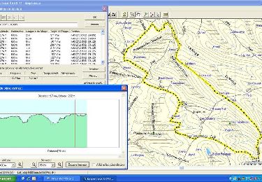
4.1 km | 5.7 km-effort

User


FREE GPS app for hiking
 SityTrail
IGN / Geographical institutes
SityTrail World
The world is yours!
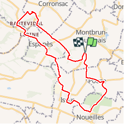
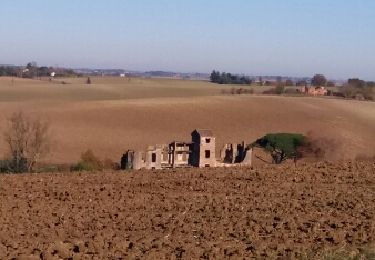
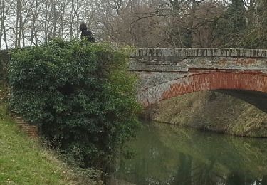
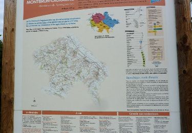
Trail Walking of 21 km to be discovered at Occitania, Haute-Garonne, Montbrun-Lauragais. This trail is proposed by RR31.


On foot

Other activity
Walking
Walking
Walking
Walking
Walking
Walking
Walking