


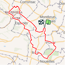
montbrun espanes issus

RR31
User

Length
21 km

Max alt
285 m

Uphill gradient
406 m
Km-Effort
26 km

Min alt
192 m

Downhill gradient
404 m
Boucle
Yes
Creation date :
2015-04-05 00:00:00.0
Updated on :
2015-04-05 00:00:00.0
6h05
Difficulty : Medium

FREE GPS app for hiking
 SityTrail
IGN / Geographical institutes
SityTrail Plus
The world is yours!
About
Trail Walking of 21 km to be discovered at Occitania, Haute-Garonne, Montbrun-Lauragais. This trail is proposed by RR31.
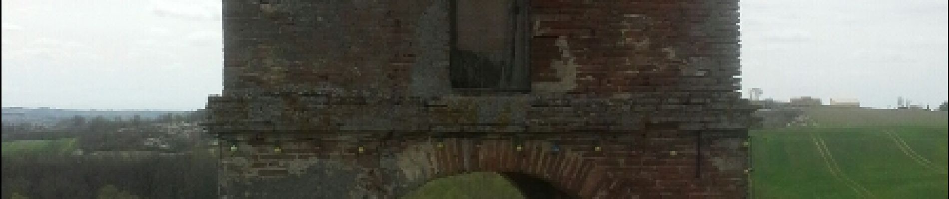
Photos


Positioning
Country:
France
Region :
Occitania
Department/Province :
Haute-Garonne
Municipality :
Montbrun-Lauragais
Location:
Unknown
Start:(Dec)
Start:(UTM)
380089 ; 4811608 (31T) N.
Comments