


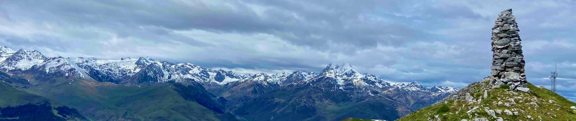
Crêtes de Bassia par le Col de Beyrède

lebarça
User
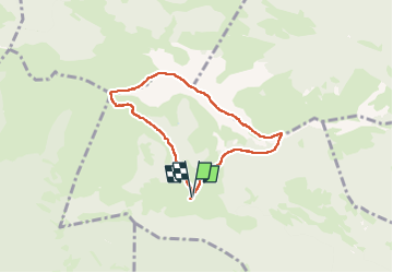

Length
6.5 km

Max alt
1904 m

Uphill gradient
543 m
Km-Effort
13.7 km

Min alt
1420 m

Downhill gradient
541 m
Boucle
Yes
Creation date :
2024-05-04 07:18:28.0
Updated on :
2024-05-05 20:37:40.785
3h07
Difficulty : Very easy

FREE GPS app for hiking
 SityTrail
IGN / Geographical institutes
SityTrail Plus
The world is yours!
About
Trail Walking of 6.5 km to be discovered at Occitania, Hautespyrenees, Beyrède-Jumet-Camous. This trail is proposed by lebarça.
Photos

Positioning
Country:
France
Region :
Occitania
Department/Province :
Hautespyrenees
Municipality :
Beyrède-Jumet-Camous
Location:
Beyrède-Jumet
Start:(Dec)
Start:(UTM)
280532 ; 4760209 (31T) N.
Comments