


Saint Hubert

alinec
User
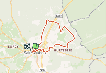

Length
12.5 km

Max alt
584 m

Uphill gradient
256 m
Km-Effort
15.9 km

Min alt
420 m

Downhill gradient
255 m
Boucle
Yes
Creation date :
2024-05-05 07:41:46.0
Updated on :
2024-06-02 07:58:43.283

FREE GPS app for hiking
 SityTrail
IGN / Geographical institutes
SityTrail Plus
The world is yours!
About
Trail of 12.5 km to be discovered at Wallonia, Luxembourg, Saint-Hubert. This trail is proposed by alinec.
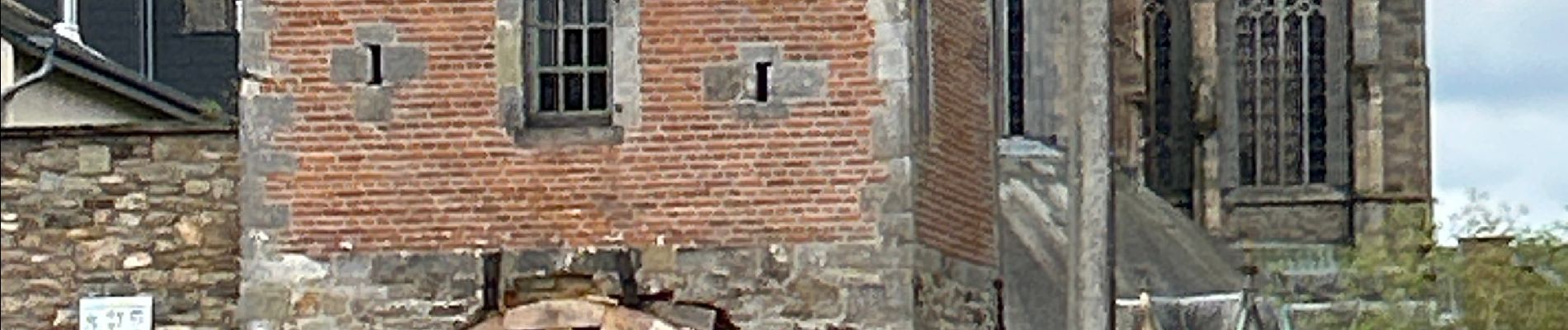
Photos


Positioning
Country:
Belgium
Region :
Wallonia
Department/Province :
Luxembourg
Municipality :
Saint-Hubert
Location:
Unknown
Start:(Dec)
Start:(UTM)
669759 ; 5544124 (31U) N.
Comments