


z St honorat 07-05-24

cb8310
User
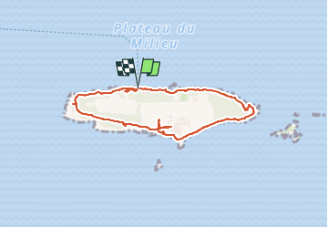

Length
3.9 km

Max alt
13 m

Uphill gradient
30 m
Km-Effort
4.3 km

Min alt
0 m

Downhill gradient
32 m
Boucle
Yes
Creation date :
2024-05-07 08:33:37.76
Updated on :
2024-05-09 03:37:45.986
3h29
Difficulty : Easy

FREE GPS app for hiking
 SityTrail
IGN / Geographical institutes
SityTrail Plus
The world is yours!
About
Trail Walking of 3.9 km to be discovered at Provence-Alpes-Côte d'Azur, Maritime Alps, Cannes. This trail is proposed by cb8310.
Description
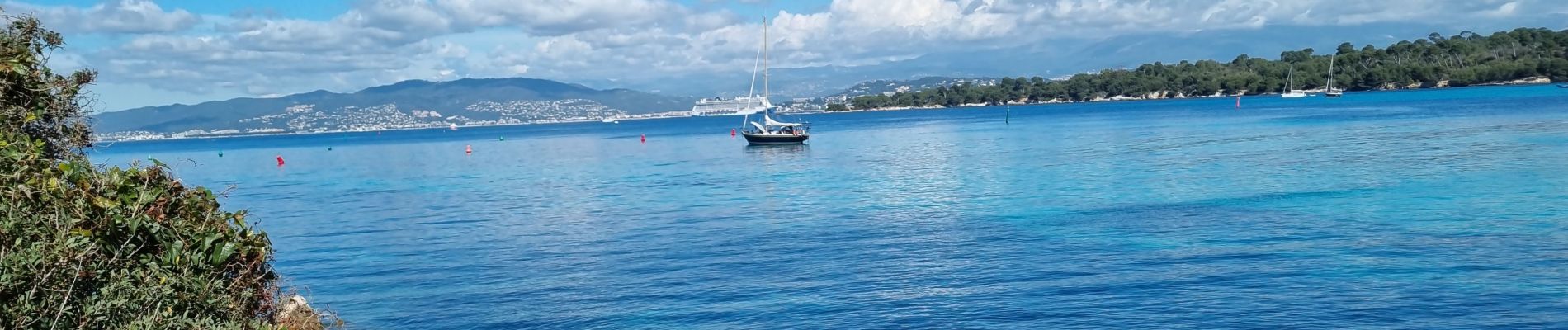
aucune difficulté dans ce parcours du tour de l'île St Honorat
Photos


Positioning
Country:
France
Region :
Provence-Alpes-Côte d'Azur
Department/Province :
Maritime Alps
Municipality :
Cannes
Location:
Unknown
Start:(Dec)
Start:(UTM)
341876 ; 4819226 (32T) N.
Comments