


Foret de ravenales

lgmalherbe
User
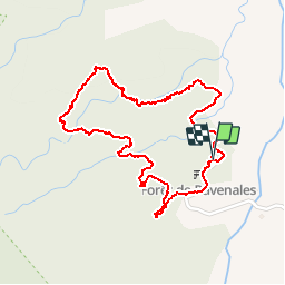

Length
3.3 km

Max alt
377 m

Uphill gradient
134 m
Km-Effort
5.1 km

Min alt
248 m

Downhill gradient
137 m
Boucle
Yes
Creation date :
2019-05-01 15:04:34.718
Updated on :
2019-05-01 15:04:34.921
2h02
Difficulty : Medium

FREE GPS app for hiking
 SityTrail
IGN / Geographical institutes
SityTrail Plus
The world is yours!
About
Trail Walking of 3.3 km to be discovered at Réunion, Unknown, Saint-Benoît. This trail is proposed by lgmalherbe.
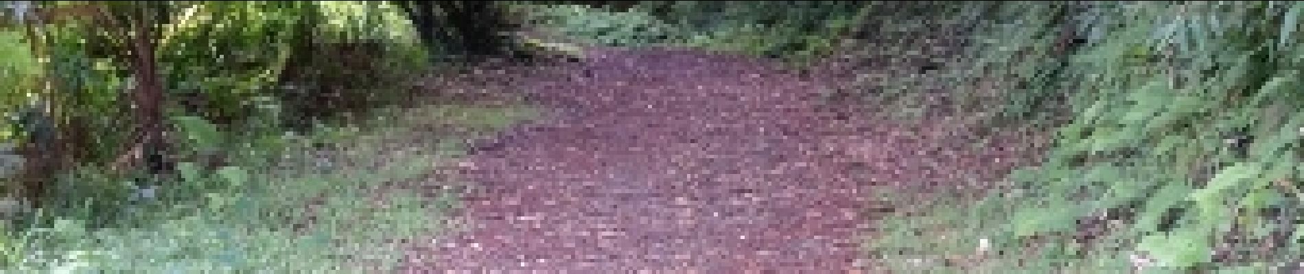
Photos


Positioning
Country:
France
Region :
Réunion
Department/Province :
Unknown
Municipality :
Saint-Benoît
Location:
Unknown
Start:(Dec)
Start:(UTM)
363394 ; 7668743 (40K) S.
Comments