


Malrif à partir de Abries

Sorriaux
User


Length
9.8 km

Max alt
2071 m

Uphill gradient
547 m
Km-Effort
17.1 km

Min alt
1553 m

Downhill gradient
546 m
Boucle
Yes
Creation date :
2024-05-10 07:44:36.565
Updated on :
2024-05-10 14:12:04.348
3h36
Difficulty : Medium

FREE GPS app for hiking
 SityTrail
IGN / Geographical institutes
SityTrail Plus
The world is yours!
About
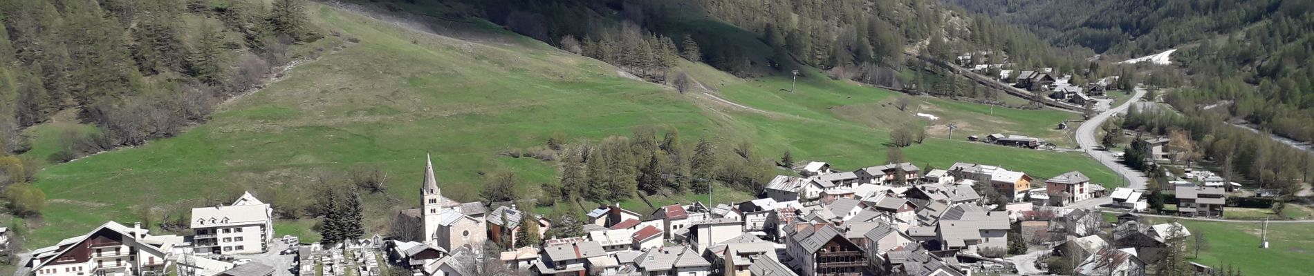
Trail Walking of 9.8 km to be discovered at Provence-Alpes-Côte d'Azur, Hautes-Alpes, Abriès-Ristolas. This trail is proposed by Sorriaux.
Description
magnifique. Beau paysage
Photos


Positioning
Country:
France
Region :
Provence-Alpes-Côte d'Azur
Department/Province :
Hautes-Alpes
Municipality :
Abriès-Ristolas
Location:
Unknown
Start:(Dec)
Start:(UTM)
335904 ; 4962183 (32T) N.
Comments